
The useful way to read a Similan map is to separate three things: the mainland departure area, the central islands visited on many day trips, and the northern sites included on some dive itineraries. A line on a map does not establish a ferry service or permission to go ashore.

Names to recognise on your itinerary
| Place | How it relates to a visit |
|---|---|
| Koh Miang / Koh Meang, Island 4 | A beach landing with Hat Na and Hat Lek linked by a forest path. |
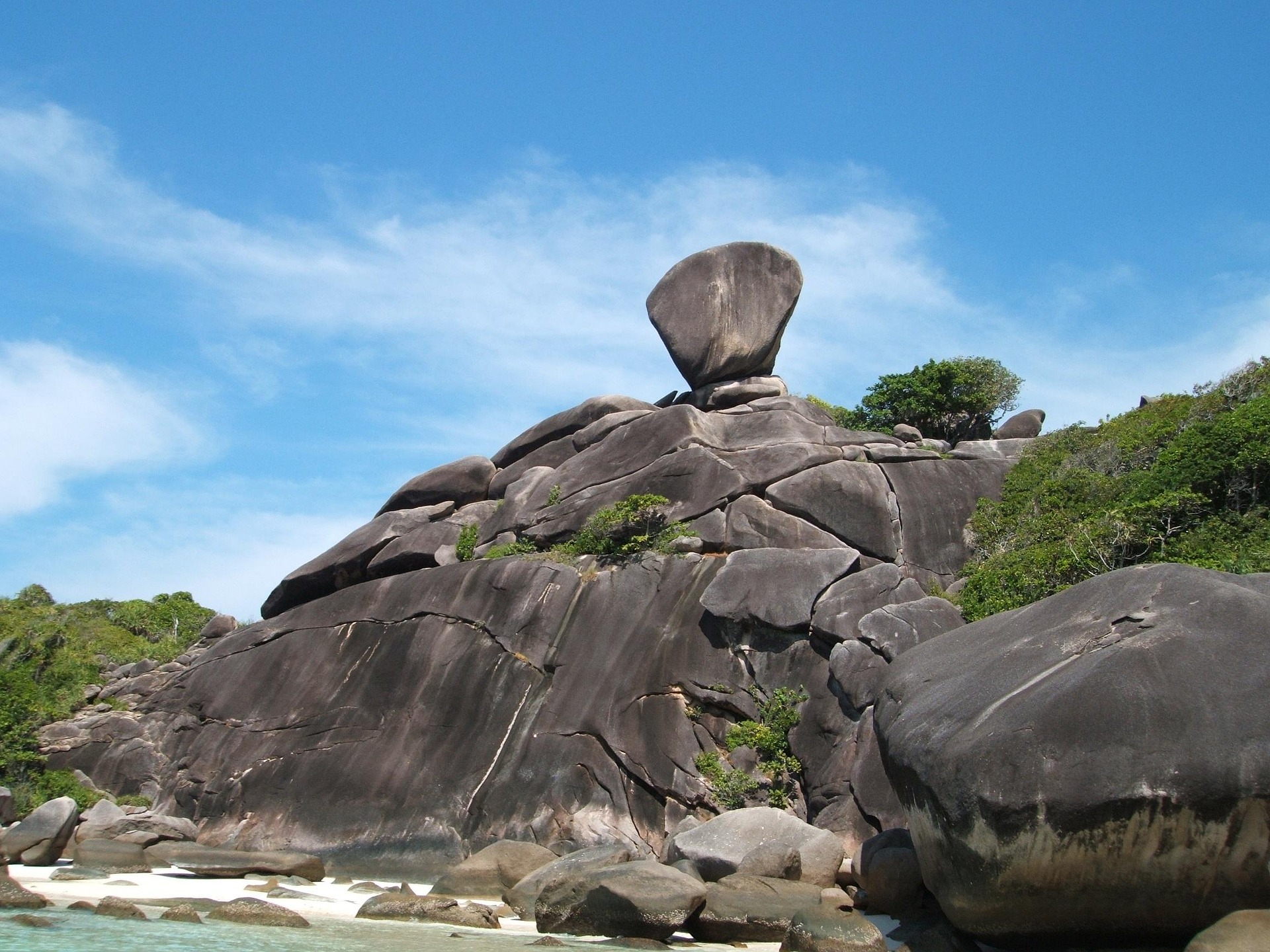
| Koh Similan, Island 8 | The island associated with Sail Rock and Donald Duck Bay. |
| Koh Bangu / Ba Ngu, Island 9 | Named on snorkel and dive itineraries. A water stop is not necessarily a landing. |
| Koh Bon | A northern site to look for when comparing dive routes. |
| Koh Tachai | A named dive destination. Do not infer beach access from its presence in a boat itinerary. |
| Richelieu Rock | A dive site in Mu Ko Surin National Park, often combined with the Similan area on longer trips. |
The mainland connection
Thap Lamu is on the mainland, not on Koh Similan. For the day-trip routes described in this guide, passengers reach their operator’s pier by road before the sea crossing. Someone booking from Phuket may therefore board in the same departure area as someone travelling from Khao Lak.

Reading a dive map
Dive-site names may refer to a reef, pinnacle or group of boulders rather than a beach or an entire island. A trip that advertises Koh Bon and Richelieu Rock can cover a wider area than a day excursion centred on Islands 4 and 8. Compare the actual liveaboard route, not just the word “Similan” in its name.

Use the diving guide to understand the sites and your operator’s briefing to decide which are suitable on the day. These images are visitor orientation maps, not navigational charts.
Map-reading questions
Why do names have several spellings?
Thai names are rendered in English in different ways. Miang and Meang, Bangu and Ba Ngu, and Thap Lamu and Tub-Lamu are examples you may encounter on bookings and maps.
Are Islands 4 and 8 the same place?
No. Island 4 is Koh Miang; Island 8 is Koh Similan. A boat journey connects the two stops.
Can I use the map to island-hop independently?
It does not show a public transport network. Confirm a permitted route and return transport with an operator before planning separate island stops.
Does a marked beach mean it is open?
No. Maps can outlast access rules. Check the park season and the exact landing with your provider.
Can I open the maps at their original size?
Yes. Select an image to open its original file. The text descriptions above also identify the principal stops without needing to read the image labels.